
POLARIS: Polar Observations of Landscapes, Assets, Risks and Infrastructure Systems
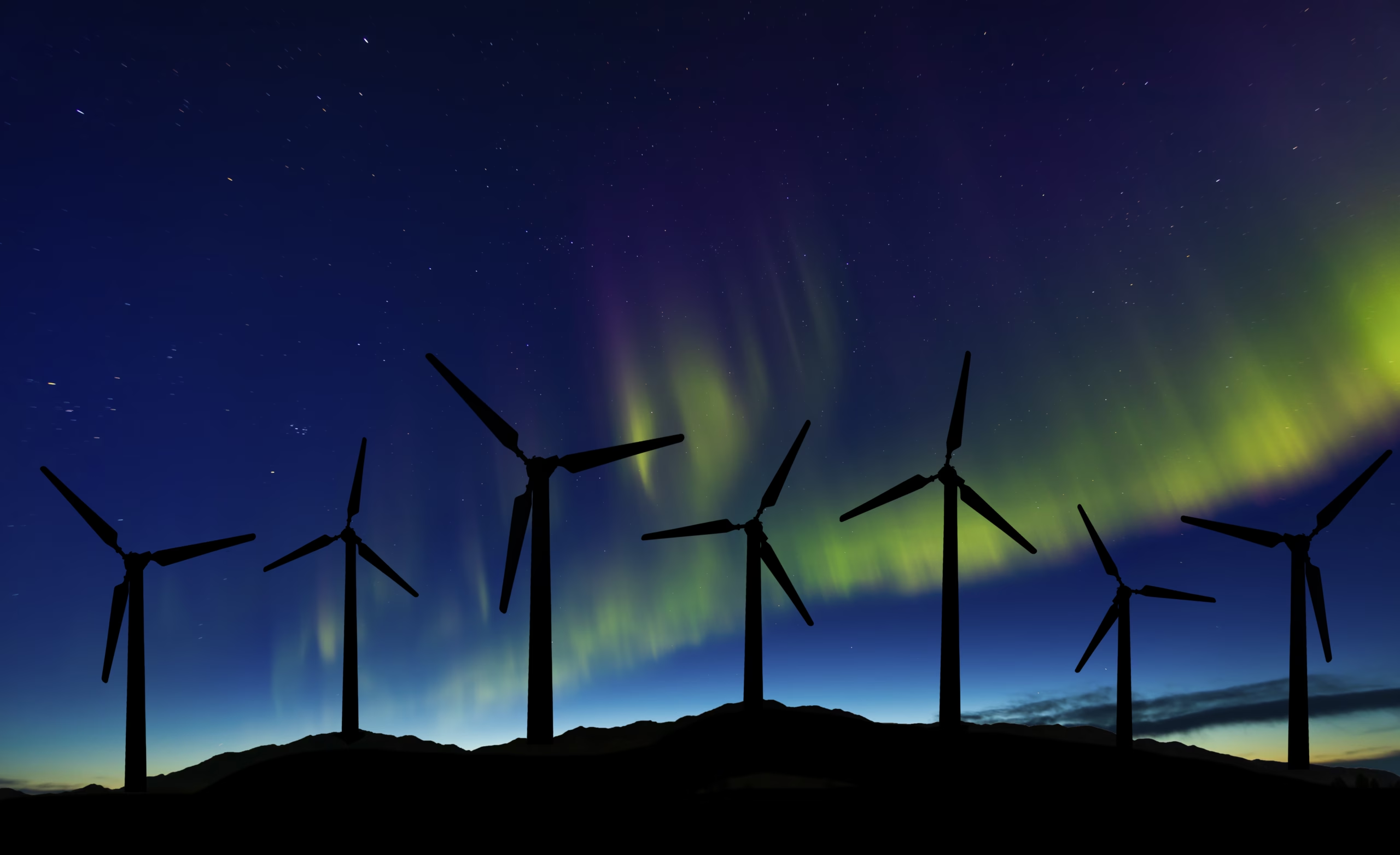
POLARIS investigates the relationship between renewable energy infrastructure, Arctic environments and local communities in northern Norway and Alaska. Using satellite Earth Observation, geospatial datasets and digital elevation models, the project will assess how environmental hazards and landscape conditions interact with wind, hydropower and transmission infrastructure. The research explores both risks to infrastructure, such as terrain instability, icing-related processes and changing land surface conditions, and potential environmental impacts of infrastructure development, including land cover change, vegetation disturbance and landscape transformation. It also considers wider questions of environmental governance, Indigenous communities and responsible energy transitions.
By developing a pilot comparative geospatial framework, POLARIS aims to support climate resilience, nature-sensitive infrastructure planning and socially responsible renewable energy development in Arctic regions.