Estimating the carbon impact of tropical forest degradation
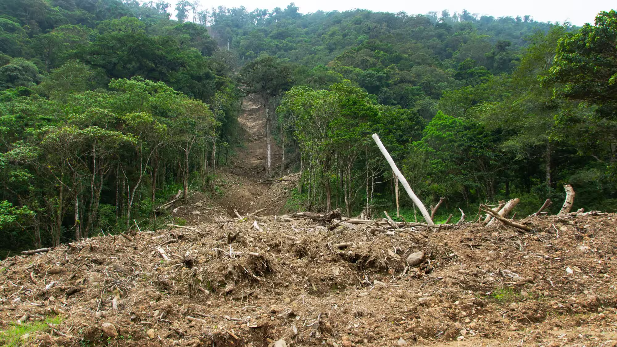
The Amazon Basin is vital for global climate regulation, acting as a major carbon sink that absorbs vast amounts of CO2, stabilises atmospheric conditions, and influences weather patterns both locally and globally. However, in the Brazilian Amazon, forest disturbance, characterized by partial reductions in forest cover without conversion to non-forested land, has now surpassed deforestation in terms of area. This disturbance not only leads to direct carbon emissions but also undermines ecosystem integrity by damaging forest structure, even when the canopy cover remains intact. While recent advancements using LandSat and Sentinel-1 have enhanced the detection of these disturbances at fine spatiotemporal resolutions, they still fall short in quantifying the associated changes in forest structure and biomass.
The Global Ecosystem Dynamics Investigation (GEDI), an innovative spaceborne LiDAR system (a laser altimeter system that determines the distance by measuring pulse travel time), has been capturing billions of 25-meter diameter footprints that measure forest height, plant area, and understory structure since 2019. Although GEDI doesn’t guarantee repeat measurements of the same location, it often records coincident footprints before and after a disturbance.
This project has developed a general-purpose, open-source pipeline to identify these specific locations, resulting in the discovery of over 7,100 coincident footprint pairs with intermediate disturbance events across the Amazon basin. Analysis of this large dataset demonstrates GEDI’s capability to detect canopy and biomass losses in non-stand-replacing disturbances as small as 0.09 hectares. This work marks the first step toward a pan-tropical, spatially explicit estimate of carbon losses and structural changes due to forest disturbance.