
TESSERA: A Tool for Tracking Land-use Change and Ecosystem Integrity
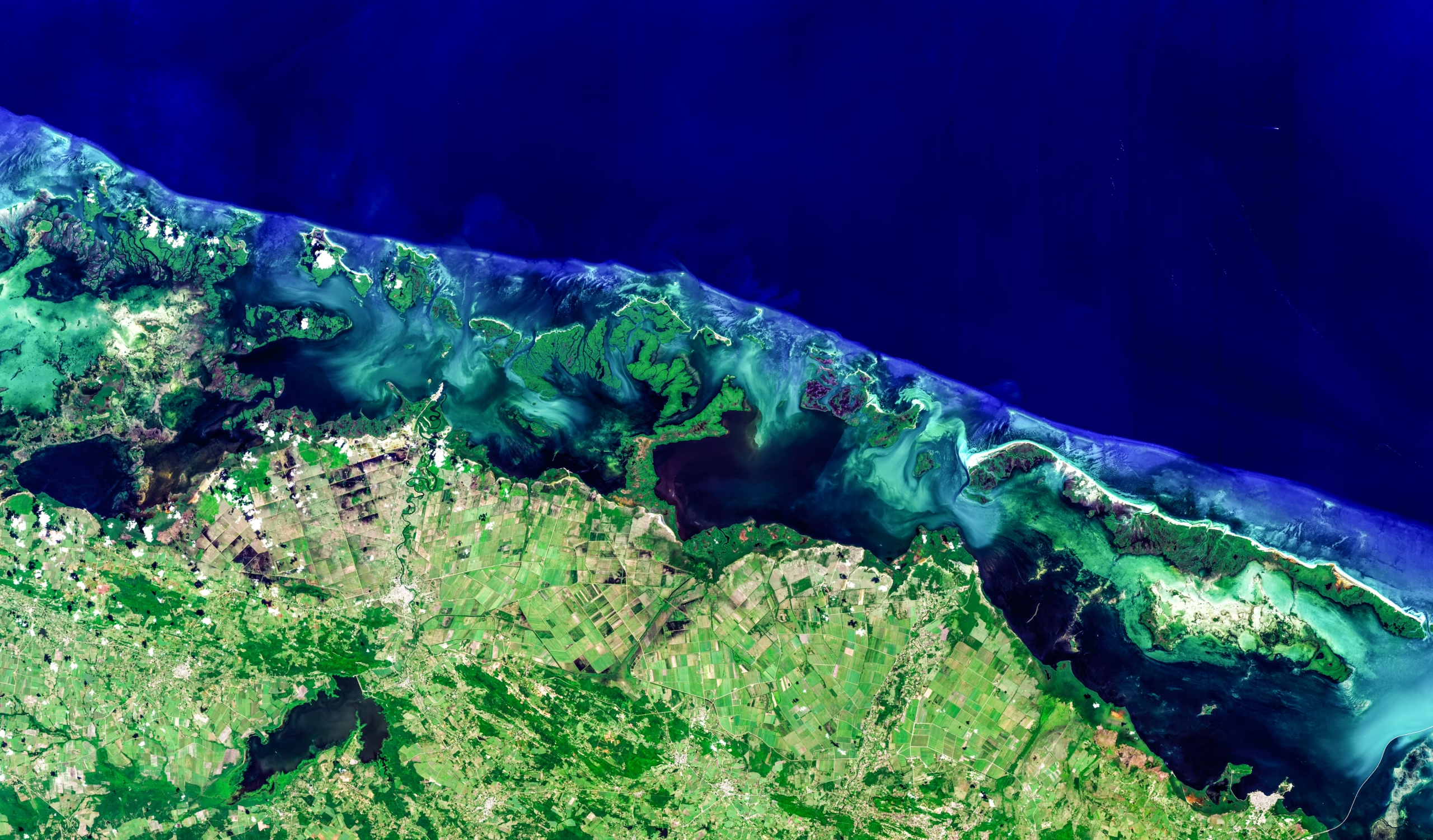
Satellites are increasingly used to monitor how the Earth’s surface changes over time, providing valuable information on forests, crops, ecosystems and land use. However, satellite observations are not always evenly spaced. Satellites only pass over the same location at certain times, and optical images can also be blocked by clouds. A common solution is to combine several observations into a single composite image, but this can remove important information about how vegetation changes through the seasons, such as when plants grow, flower or lose their leaves. These seasonal patterns are important for many environmental applications.
This project developed TESSERA, an artificial intelligence model designed to make better use of satellite observations collected over time. TESSERA combines data from the Sentinel-1 and Sentinel-2 satellite missions, which provide complementary radar and optical information about the Earth’s surface. Rather than requiring a complete or regularly spaced set of observations, the model is trained to produce reliable summaries even when data are missing or unevenly distributed throughout the year. It does this by learning which features remain consistent across different combinations of satellite observations, while reducing the influence of neighbouring locations and improving performance when only a small number of observations are available.
The resulting TESSERA representations can be used for a wide range of tasks, including mapping land-cover types, identifying features within satellite images and estimating environmental variables. Across several tests, TESSERA achieved very high accuracy while requiring relatively little labelled training data, making it easier and cheaper to adapt to new applications. To make the technology widely accessible, the project is releasing global annual datasets at 10-metre resolution, alongside the model code, trained model and simple tools for adapting it to different tasks. This provides researchers and practitioners with a practical way to analyse environmental change at very large scales.