
Hotter Arctic Cities: mapping urban heat islands and land-cover change for climate resilience
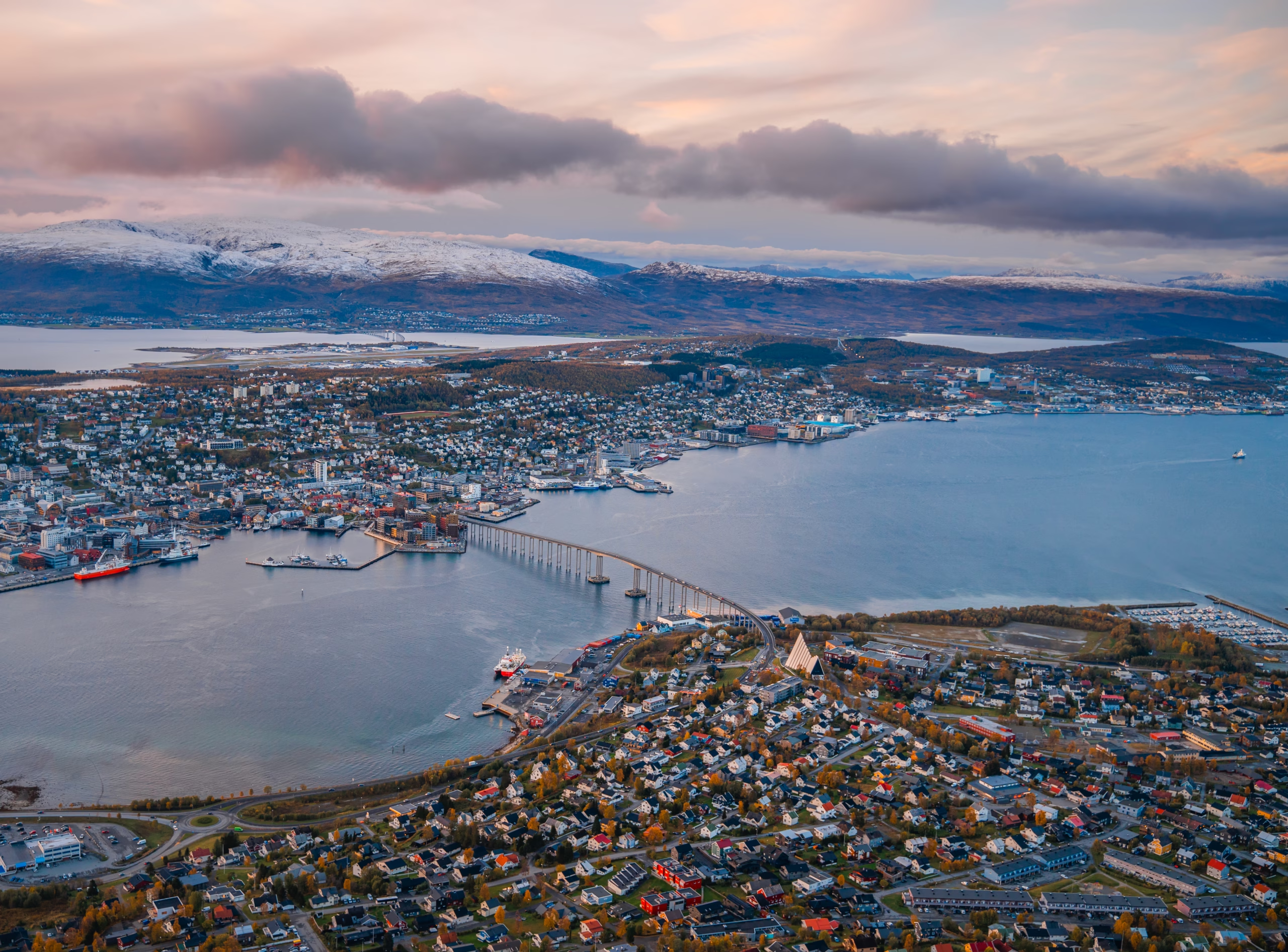
This study examines how urbanisation and land-cover changes affect land surface temperature and the ‘urban heat island’ effect in Arctic cities, with a particular focus on Tromsø (Norway) as a pilot city.
Arctic urban areas are warming rapidly, yet the local impacts of urban expansion, changes in vegetation, surface materials and the form of the urban environment remain poorly understood. The project utilises satellite remote sensing data, LiDAR data, GIS, machine learning and climate datasets to map changes in land use/land cover, quantify patterns in land surface temperature and identify areas of increased thermal load within the urban environment. By combining spatial data with issues of urban planning and adaptation to climate change, the research aims to contribute to enhancing the climate resilience of Arctic cities and to provide information for the development of strategies for sustainable land use, green infrastructure and the mitigation of heat island effects.
Through collaboration with local communities and stakeholders, the project aims to promote mutual learning and the exchange of local and scientific knowledge, as well as to support the development of more inclusive strategies for adapting to climate change in Arctic urban environments.